


 35 242

42
●
(EARLY EXPLORATION.) Herrera,
Antonio de.
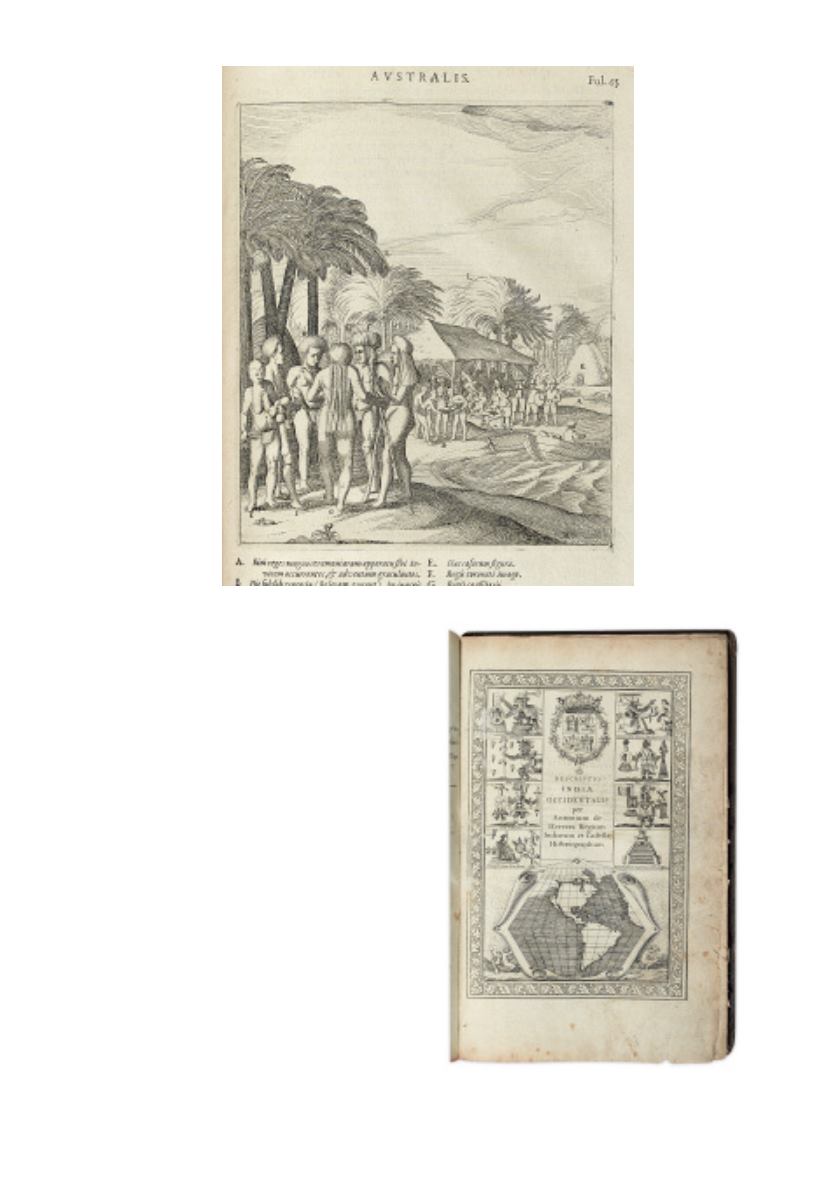
Novus orbis, sive descriptio
Indiae Occidentalis.
17 double-page maps,
engraved second title page, portrait plate of
Jacob Le Maire, text illustrations. [3], 44, [3],
46-81, [2], 9, 11 leaves. Folio, later morocco,
worn, front board detached; minor water
damage and minor wear to fore-edge
throughout.
Amsterdam: Colijn,
1622
[10,000/15,000]
First Latin edition of Herrera’s 1601
Descripcion de las Indias Occidentales. The
map inset to the title page is the first depic-
tion of California as an island (see Tooley,
Mapping of America, page 110), although it
is depicted correctly as a peninsula in Map
1. Several of the maps depict Central and
South America in detail. This edition is also
distinguished by appendices of “Brevis ac
Succinta Americae” by Bertius, and
“Ephemerides sive Descriptio Navigationis
Australis” by Le Maire. The latter is the
first publication of Le Maire’s important
account of his voyage which discovered Cape Horn and numerous Pacific islands.
European Americana 622/70; Medina, BHA 455n; Sabin 31540; Wagner, Spanish
Southwest 12c.