
45
●
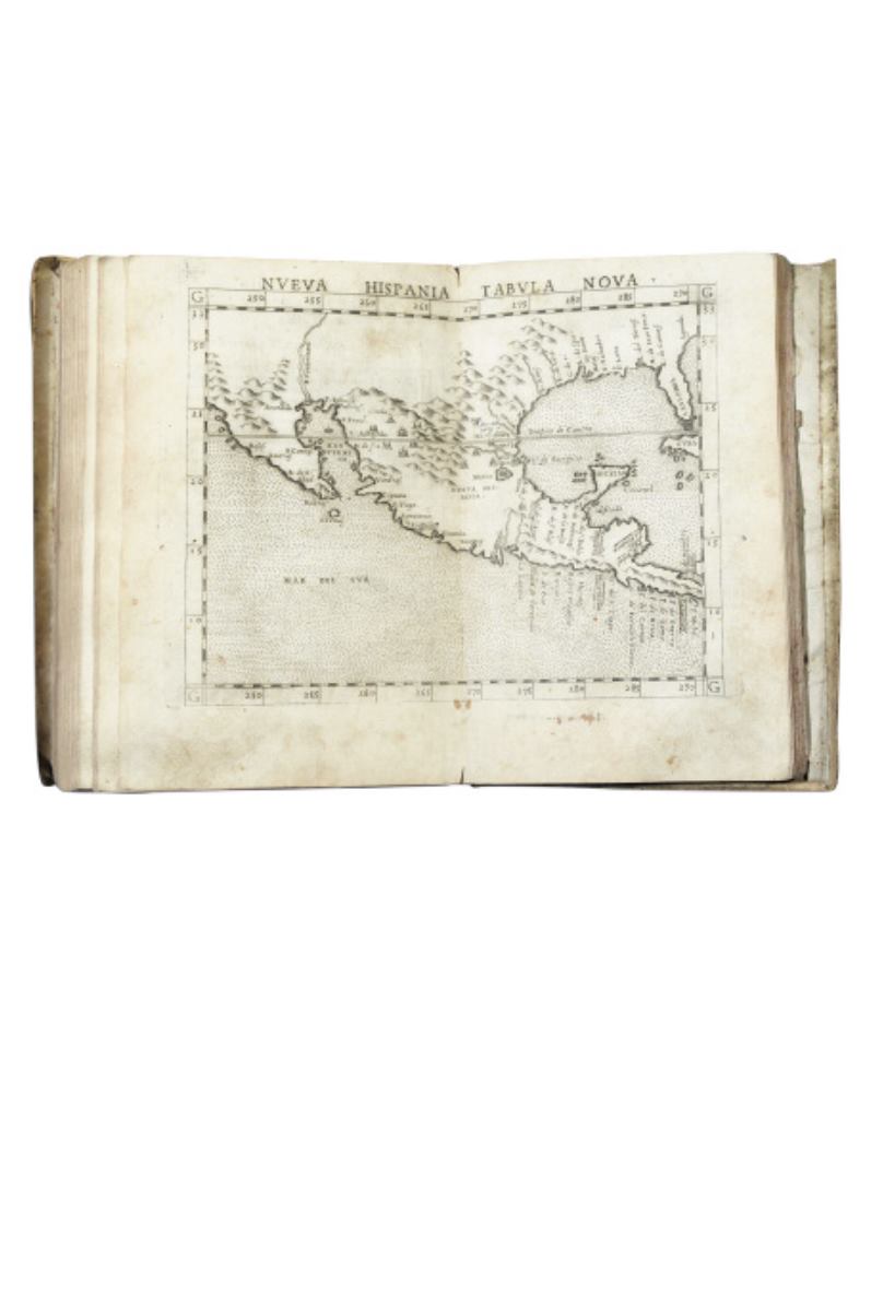
(EARLY EXPLORATION.) Ptolemaeus, Claudius.
[Geographia Cl. Ptolemaei
Alexandrini.]
63 (of 64) double-page maps with descriptions on verso. 41-285, [63]
pages. 4to, early vellum, minor wear; lacking the third map, “Carta Marina Nuova Tavola”,
white stains in margins of some maps, lacking the 4 preliminary text leaves and pages 1-40
of the first section, minor dampstaining and worming, first and final leaves worn, scattered
early manuscript notes.
[Venice: Valgrisi, 1562]
[4,000/6,000]
First edition of Moleti’s revision, using the plates from the 1561 Venice edition. Includes 9 of the
10 maps which depict the Americas: the world map (#2), two maps depicting Greenland, and the
6 final maps depicting the North American coast, Central America and the Gulf of Mexico,
South America, Brazil, Cuba, and Hispanola. European Americana 562/25; Sabin 66489.


