
WITH
—
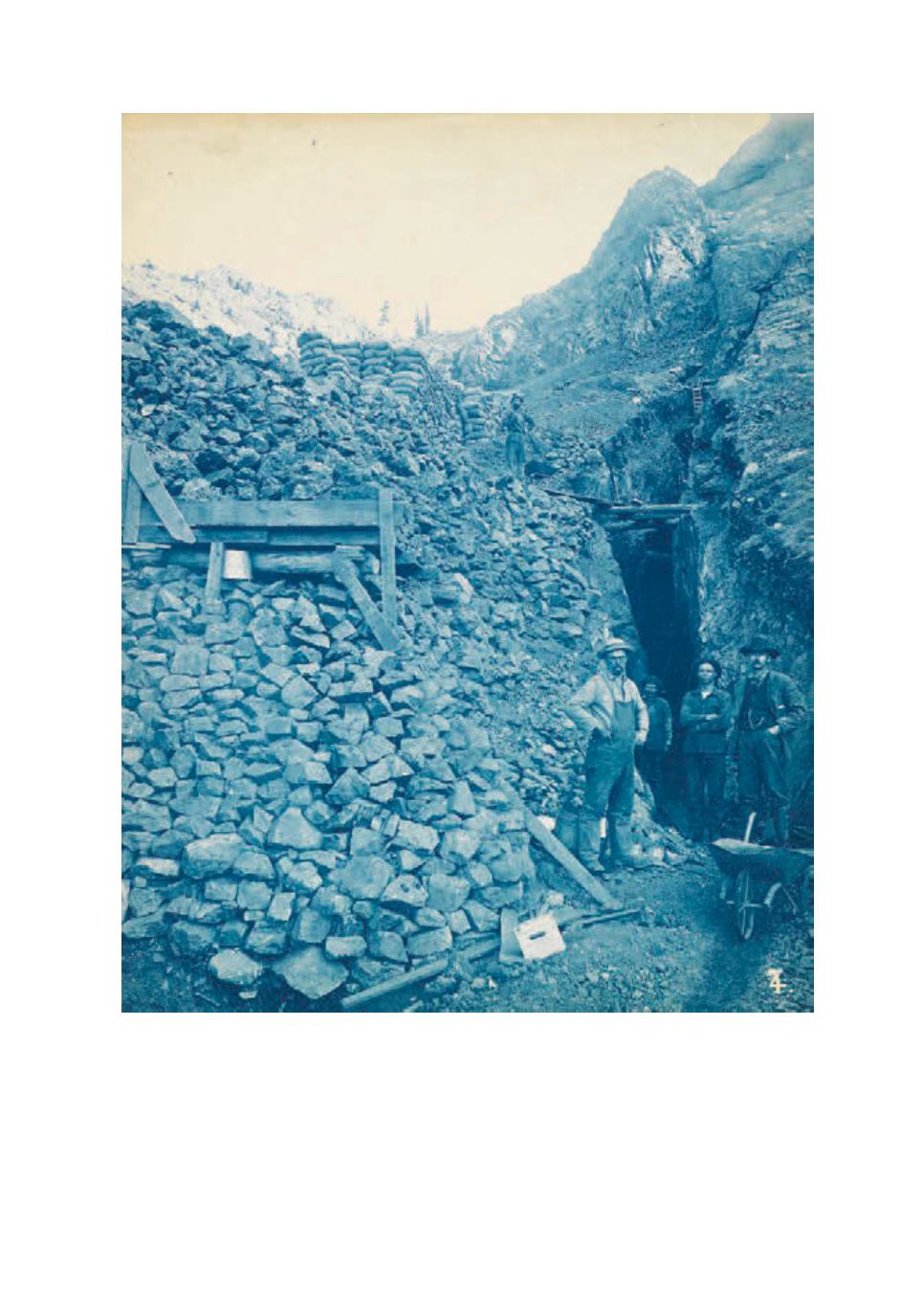
A large map of Plumas County, California, including a portion of Nevada County and a list of mining
claims in the county, with markings indicating the region’s “main traveled wagon roads,” railroads, towns and
camps, the area’s geographical features, school districts, and a list of mining claims for the county. The map
measures 51x68
1
/
2
inches in total (129.5x174 cm.), paper mounted to linen, with red pencil lines drawn
indicating a route. 1892.


