Taking a Closer Look: A Map of Kyoto as the Imperial Capital of Japan
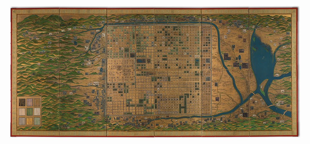
The June 3, 2014 auction of Maps & Atlases, Natural History & Color Plate Books is marked by a number of unique or exceedingly rare examples of cartographic material and decorative graphics. Among a selection of maps of Japan is a masterpiece of urban cartography: an impressive seventeenth-century manuscript map of Kyoto as the imperial capital, mounted on a six-panel screen.

The map shows Kyoto as it looked centuries before 1600, in approximately the tenth or eleventh century.
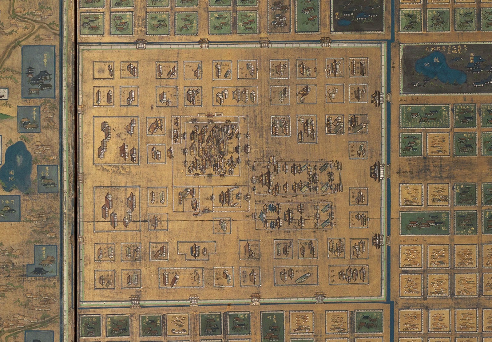
Kyoto was established as the capital of Japan in 794 AD. From roughly that time until the thirteenth century, the city featured the large Heian Palace Complex at its northern end. This served as the seat of imperial power. The complex was destroyed by a fire in 1227 AD. The present map depicts the complex in extraordinary detail, going as far as to label individual trees within its confines.

The grid layout of the city is based on the regimented Jo-Bo system of urban planning, which the Japanese had adopted from China and used for the early development of Kyoto. The number and width of each street is noted. Suzaku Avenue is shown proceeding south from the palace to Rashomon Gate.
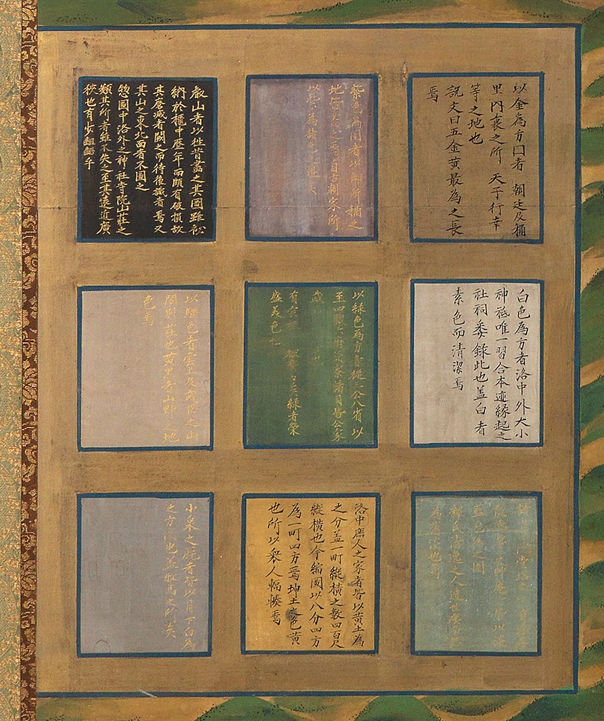
There is color-coded key in the lower left corner that differentiates buildings used by the imperial household, magistrates, Shinto and Buddhist clergy, military retainers, and commoners. Many buildings – most of those not owned by commoners – are individually labeled.


