Maps & Atlases, Natural History & Color Plate Books
At Auction June 6
Complete Catalogue
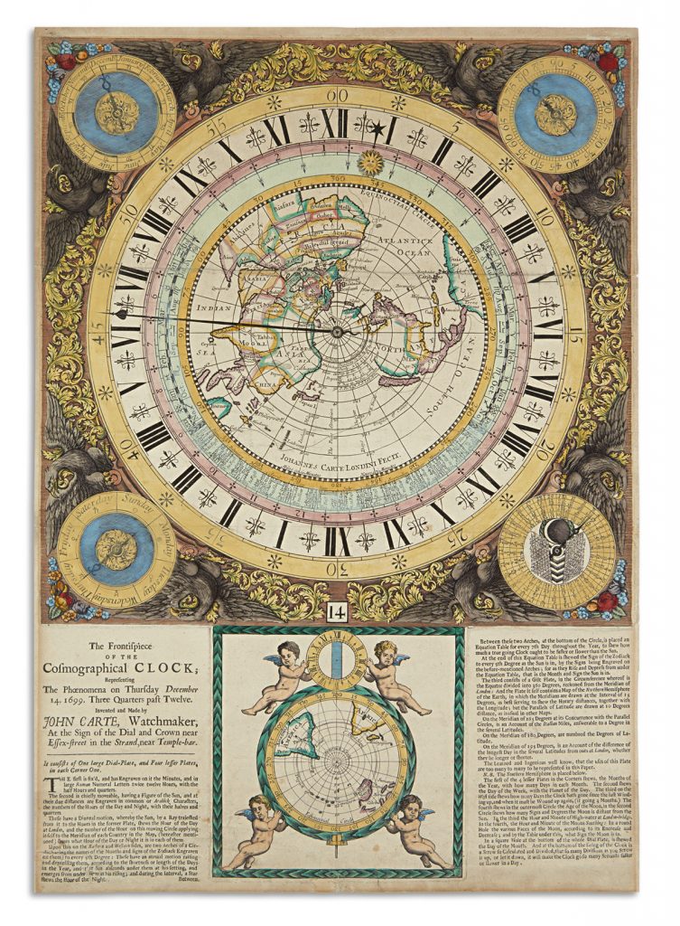
Exhibition Open June 1 – June 6
The exhibition is free to attend and open to the public. We welcome special and educational groups with advance notice–send an inquiry to rsvp@swanngalleries.com
Exhibition Hours
Saturday, June 1 – 12 pm to 5 pm
Monday, June 3 – 10 am to 6 pm
Tuesday, June 4 – 10 am to 6 pm
Wednesday, June 5 – 10 am to 6 pm
Thursday, June 6 – 10 am to 12 pm
Maps
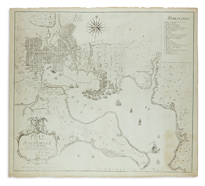
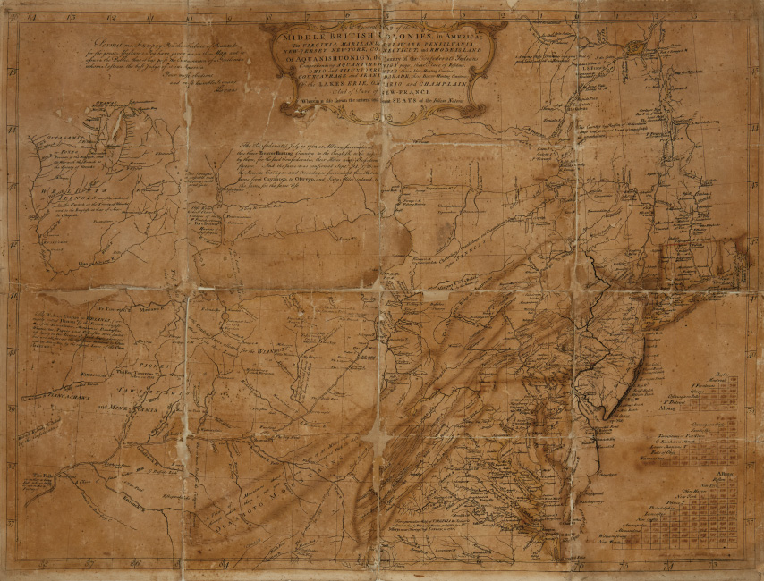
Among maps is Lewis Evans’ 1755 General Map of the Middle British Colonies in America in its proof state, annotated, signed and dated two months before the map’s official publication, and another eighteenth-century American rarity, A.P. Folie’s 1792 Plan of the Town of Baltimore, never before seen at auction.
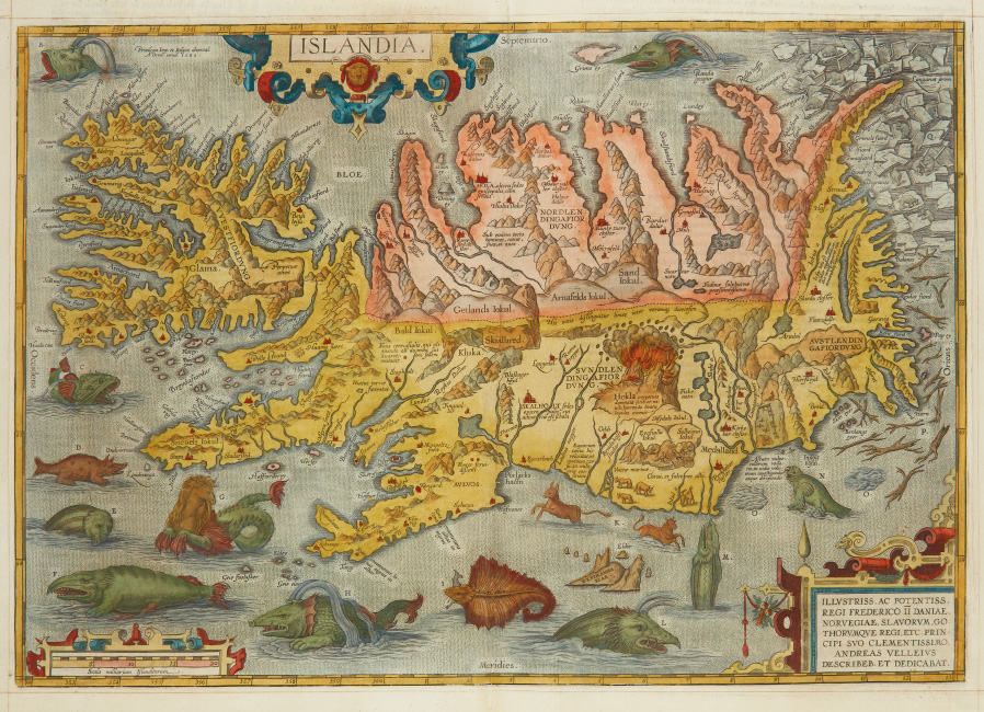
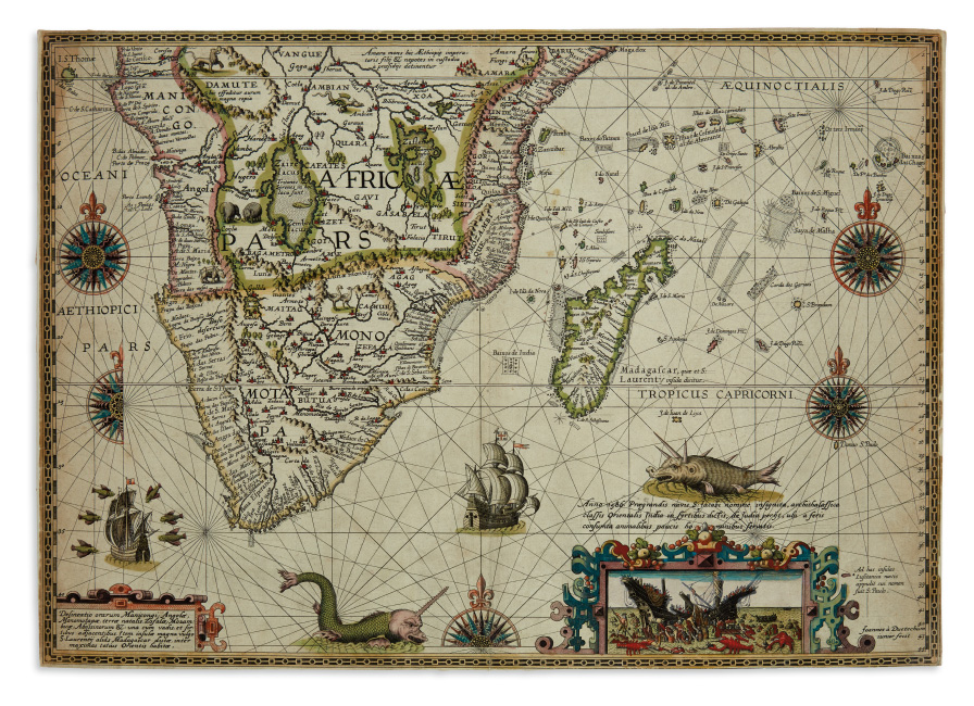
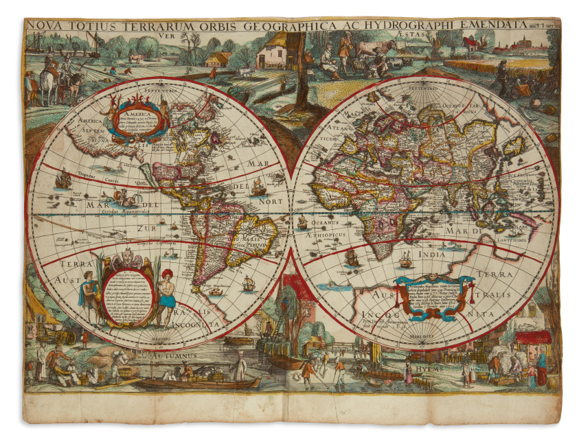
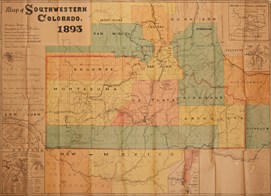
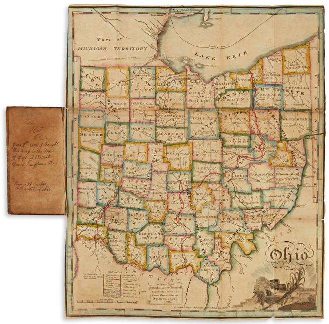
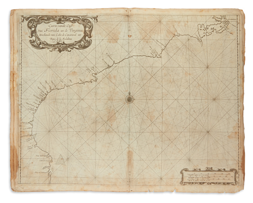
Several truly scarce sixteenth- and seventeenth-century Dutch imprints will be on offer, including a map of southern Africa by Petrus Plancius with an inset view of a shipwrecked crew being accosted by giant lobsters, and a run of maps by obscure publisher Pieter Verbiest. Pocket maps include James Turnbull’s 1828 map of Ohio, and a notable example of late-nineteenth century mapmaker Emil Fischer’s Map of Southwestern Colorado.
Dutch Imprints
American
Atlases
Natural History & Color Plate Books
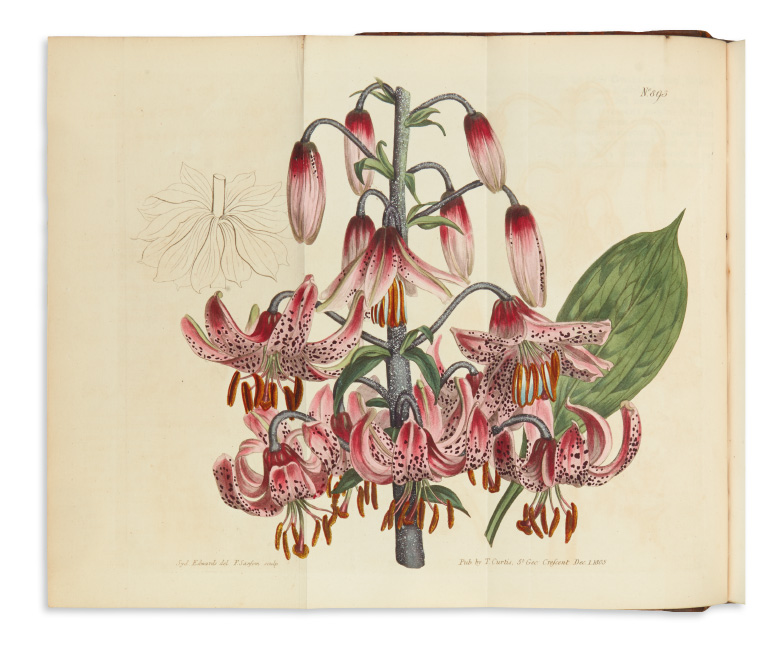
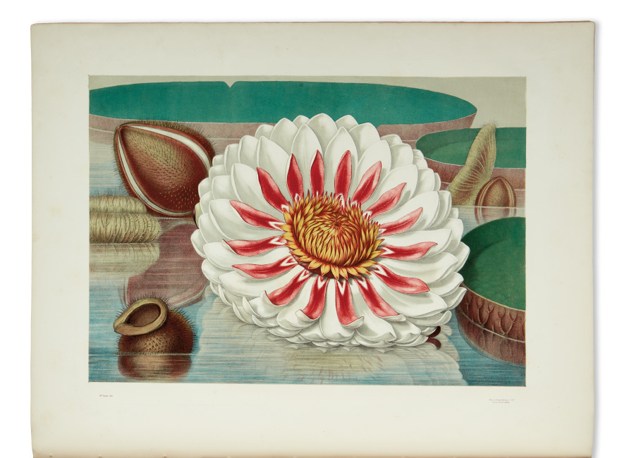
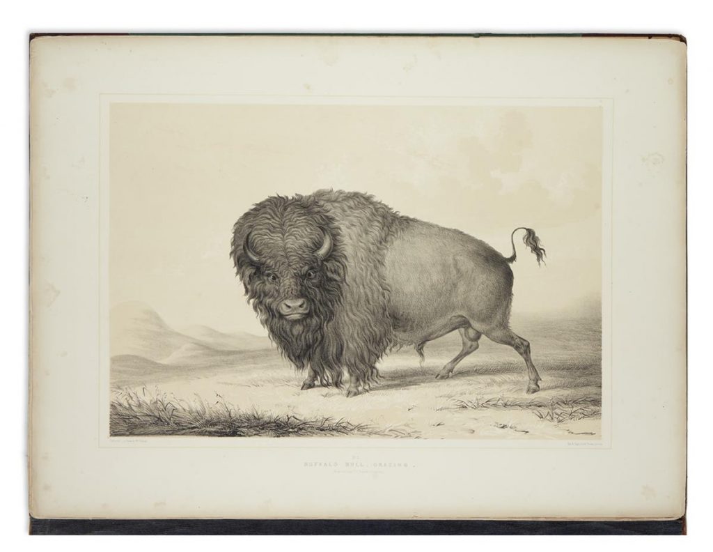
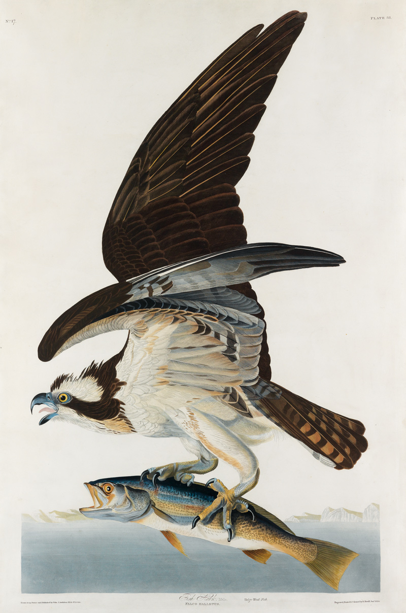
Plate books are represented by George Catlin’s North American Indian Portfolio; an exquisite copy of John Fisk Allen and William Sharp’s chromolithographs of giant water lilies, Victoria Regia; and a complete run of the first 54 volumes of William Curtis’s lovely hand-colored Botanical Magazine.
Other Highlights
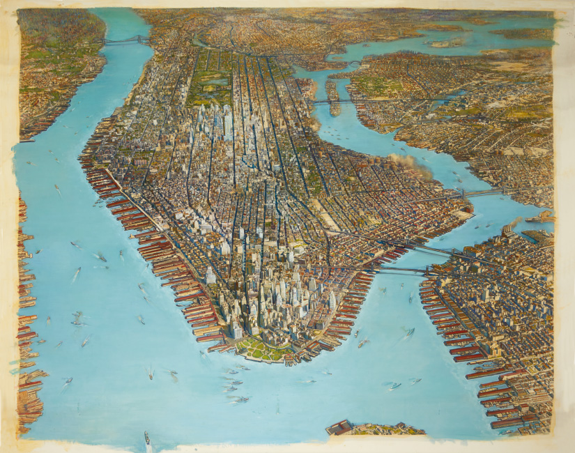
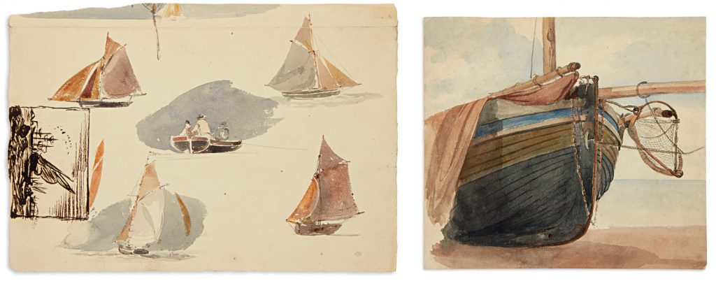
Other highlights include a massive stack of marine sketches by Oswald Walters Brierly, nearly all of the 200 chromolithographs of religious Renaissance master paintings published by the Arundel Society, and a spectacular hand-painted Art Deco-period aerial photograph of New York City.



![Grace Meschery-McCormack shares about two copies of Fernando de Rojas’s ‘La Célestine,’ including a limited edition copy illustrated by Pablo Picasso.
At auction April 22. Learn more about the works at the link in our bio.
#Rarebooks #rarebookdealer #antiquarianbooks #auctions
_______________________________________
Music Credit:
Schubert - Piano Quintet in A major ‘The Trout’, D. 667 - IV. Andantino – Allegretto
Music provided by Classical Music Copyright Free on Youtube [https://tinyurl.com/visit-cmcf]
Watch: • Schubert - Piano Quintet in A major ‘...]](https://scontent-iad3-1.cdninstagram.com/v/t51.75761-15/491443494_18499096345036585_5935932878956098058_n.jpg?stp=dst-jpg_e35_tt6&_nc_cat=107&ccb=7-5&_nc_sid=18de74&_nc_ohc=OlBShB8qEWAQ7kNvwHbrXqd&_nc_oc=Adn09Fh3YL-11OkpQcrYGgFN9beLpm0IfGUn2bwN7iJs6d4v8qMeP8kSYmCw82y2ewU&_nc_zt=23&_nc_ht=scontent-iad3-1.cdninstagram.com&edm=AM6HXa8EAAAA&_nc_gid=ALjW-WotoJKMhmSxb3MjdA&oh=00_AfHxnW1r6azPkfEpGu23ZkOrQJZhFUze5da2x2sbKDWsbw&oe=681AE6D1)


