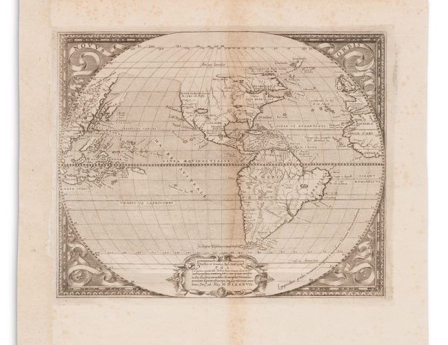
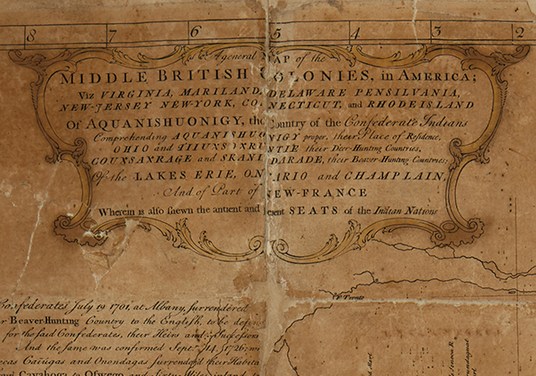
May 23, 2019Kelsie JankowskiMaps & Atlases Lewis Evans: An Overview of Creating ‘General Map of the Middle British Colonies in America’ Read more about Lewis Evans: An Overview of Creating ‘General Map of the Middle British Colonies in America’ Lewis Evans’ General Map of the Middle British Colonies in America was one of the most significant and influential maps published in Colonial America. On it, Evans described the land beyond the…
Read more about Records & Results: Maps & Atlases, Natural History & Color Plate Books December 8, 2017 Maps & Atlases Records & Results: Maps & Atlases, Natural History & Color Plate Books Maps were so plentiful at our December 5 auction of Maps & Atlases, Natural History & Color Plate Books that one could be forgiven for getting lost. Many buyers chose…
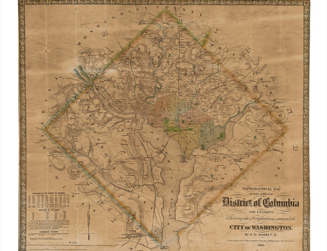
Read more about The Foundation of a Capital: Early Maps of Washington D.C. December 5, 2015 Maps & Atlases The Foundation of a Capital: Early Maps of Washington D.C. Washington, D.C., with its neoclassical architecture and grand monuments, almost seems as if it arose organically over centuries on the shores of the Potomac. In reality, the Capital City was…
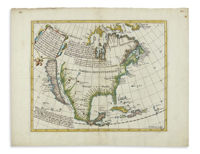
Read more about A Famous Cartographic Blunder: The Island of California May 15, 2015 Maps & Atlases A Famous Cartographic Blunder: The Island of California For more than a century the state of California was thought to be an island. How? Misinformation by way of maps. In Mapping the West: America’s Westward Movement 1524-1890 (2002),…